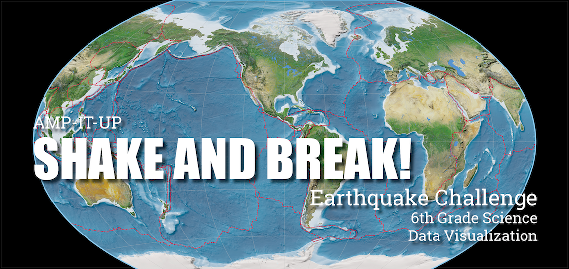
Module Summary: AMP-IT-UP - Shake and Break
Students engage as earth scientists to plot and analyze spatial and temporal earthquake data to help a company decide where to build its new cell phone manufacturing plant in northern California. The module covers basic concepts of seismology, plate tectonics, and the earth’s structure. An article on this module was featured in the Winter 2020 edition of The Earth Scientist and can be viewed here.
Link to Lesson Plan PDF (pending)
For Teachers:
For Students:
- Low resolution earthquake map 3.
- Low resolution earthquake map 4.
- Low resolution earthquake map 5.
- Low resolution earthquake map 6.
- Low resolution earthquake map 7.
- Low resolution earthquake map 8.
- Low resolution earthquake map 9.
- Low resolution pdf of all the earthquake maps.
Videos:
- Video - Earth Without Water - A simulation of removing water on the earth—shows deep trenches and mountains
- Video - Earthquake Samples - Video shows the damage from a 4.4 Earthquake, a 7.2 Earthquake, a 7.6 Earthquake, and a 9.0 Earthquake (Japan (Tsunami)).
Complete Set of Module Files:
AMP-IT-UP "Shake and Break" Earthquake Challenge Module Attribution ©2012-2020
Advanced Manufacturing and Prototyping Integrated To Unlock Potential (AMP-IT-UP)
is made possible by a grant from the National Science Foundation (Award Number: 1238089)

